
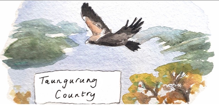
What is Our Place?
The communities of Alexandra, Acheron, Taggerty, Buxton, Marysville and Narbethong exist on Taungurung Country, on the other side of the Great Dividing Range from north east Melbourne and accessed by the winding Black Spur Drive. Our place is carved by significant waterways, the Waring (Goulburn river) and the Nyaggeron (Acheron river). It’s fed by the Rubicon, Steavenson, and Taggerty Rivers, which flow down from the ranges. The ‘Rubicon state forest’, ‘Marysville state forest’, and ‘Black Range state forest’ surround the lowlands and frame our stunning central landmark, Nanadhong (‘Cathedral Ranges state park’).
Our place is abundant and spectacular, featuring incredible wildlife, rich agricultural land, and beautiful landscapes. Local people love our rural environment. We love the peacefulness of living in the bush and we value the connected social networks of our rural communities. Our greatest strength is our willingness to cooperate, lend a hand, and look after one another as members of our small communities, both in everyday life and in times of crisis. We value making decisions about our own lives at a local level.
For detailed maps and place-specific data about our communities and our place, read Shaping Murrindindi’s Future’s recent regional context analysis. We respectfully acknowledge the unceded Sovereignty of the Taungurung people, whose land we live and organise on. Read about Taungurung Land & Water’s Council’s work on Country in their annual report here.
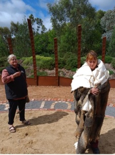
Visiting Taungurung Land & Waters Council’s Wawa Biik Cultural tourism experience.